| Gage Name | Most Recent Data (UTC) | Stage or Elevation (ft) | Flow (cfs) |
|---|---|---|---|
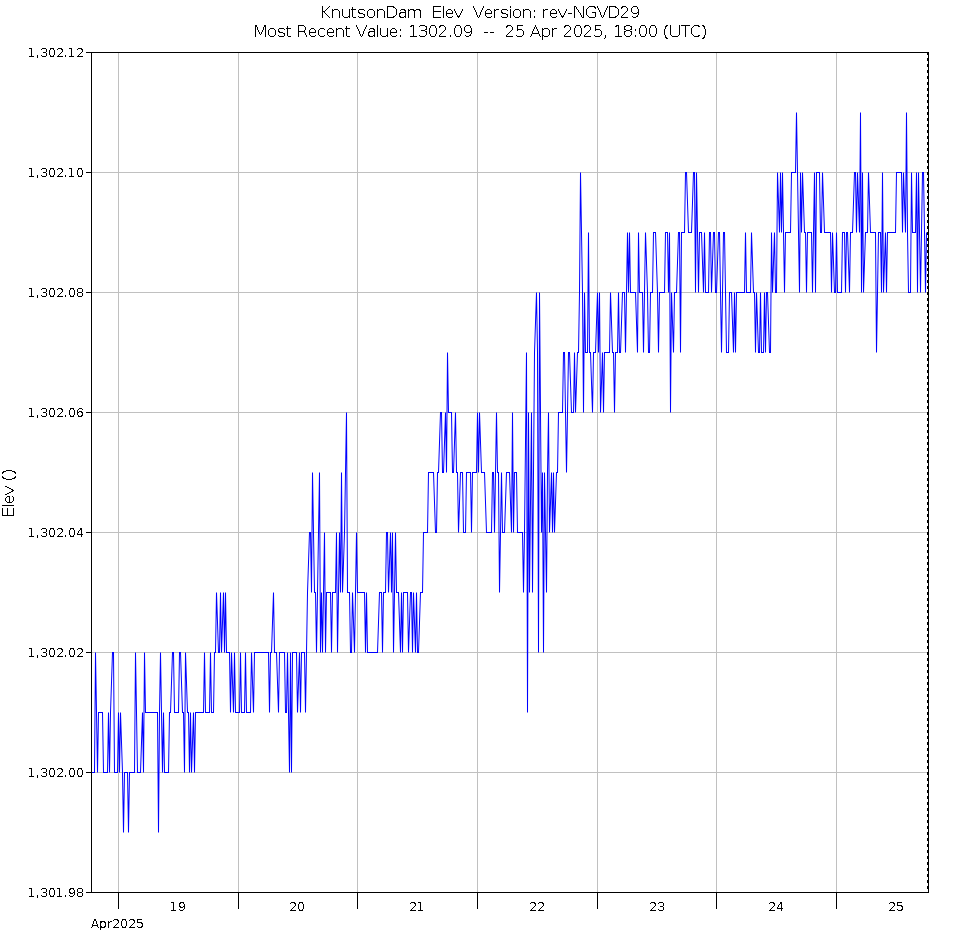
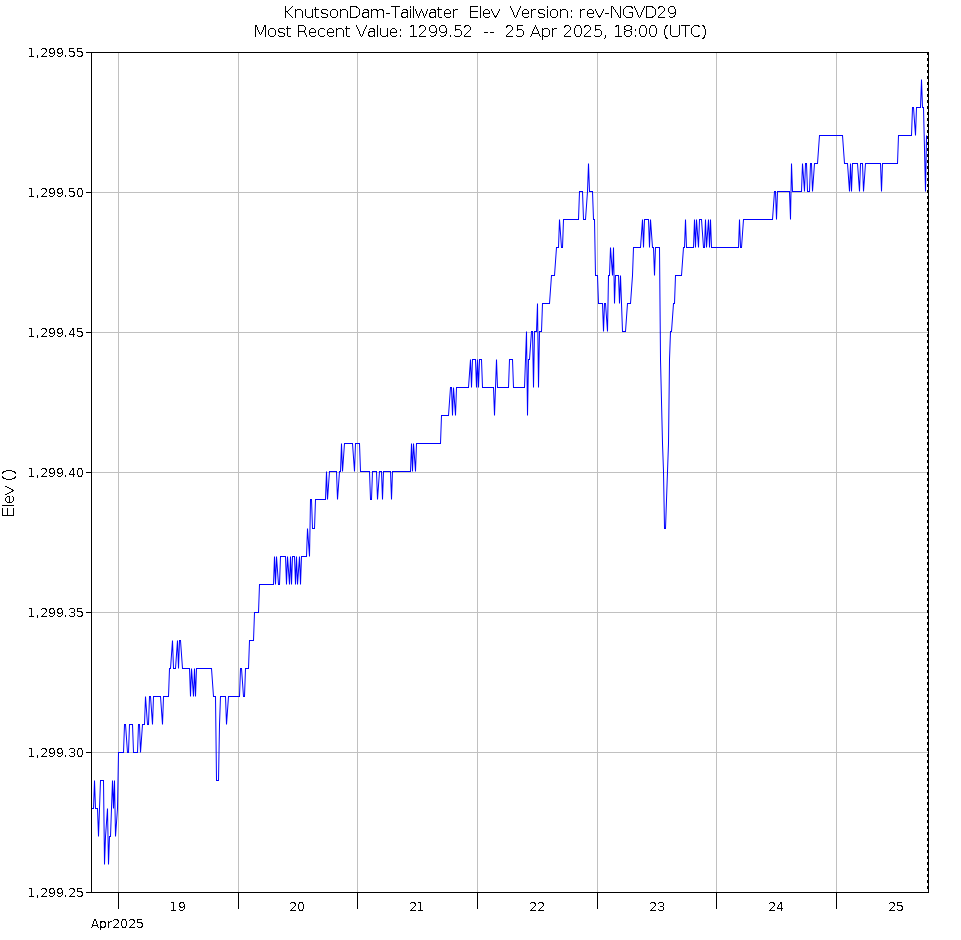
| Knutson Dam near Cass Lake, MN | 20 Jul 2026, 05:00 | 1301.89 Tail: 1299.94 | NA |
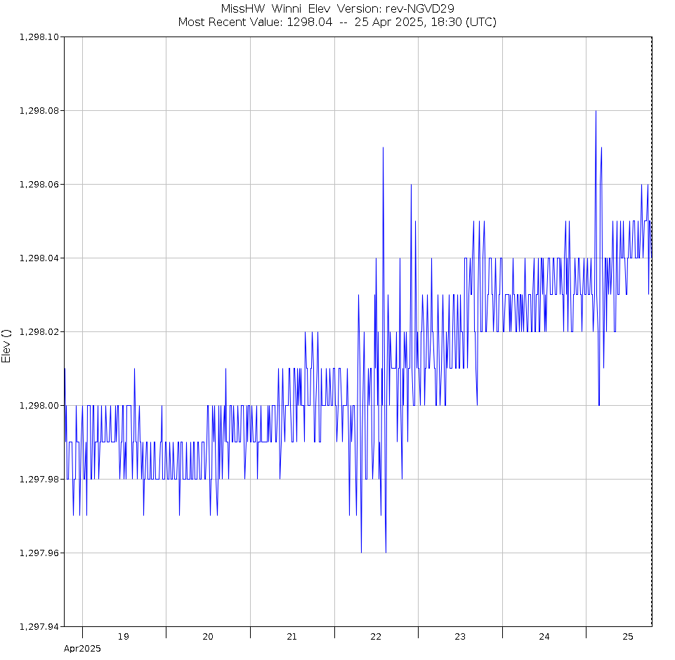
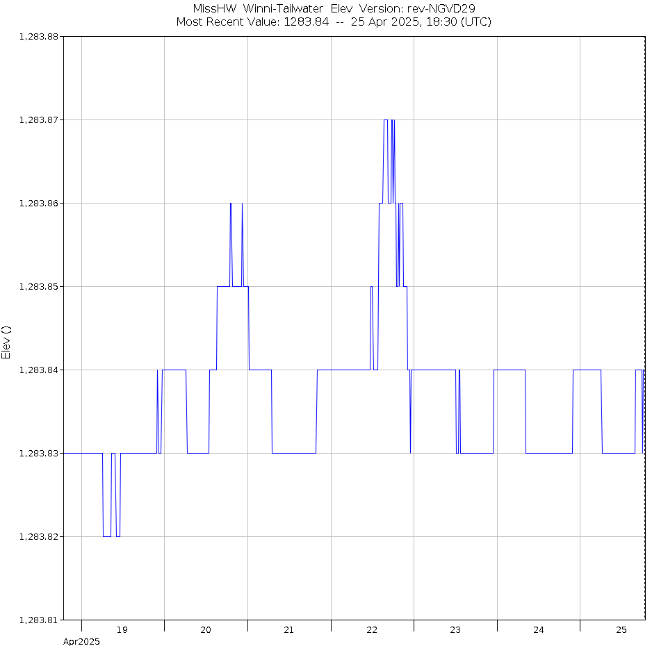
| Lake Winnibigoshish Dam near Bena, MN | 20 Jul 2026, 05:30 | 1298.23 Tail: 1284.71 | 101 |
| Leech Lake at Sugar Point near Federal Dam, MN | 20 Jul 2026, 05:30 | 1294.65 | --- |
| Leech Lake near Federal Dam, MN | 20 Jul 2026, 05:00 | 1294.56 Tail: 1286.32 | 142 |
| Leech Lake River above Mud Lake Dam | 20 Jul 2026, 05:00 | 80.36 Tail: 78.78 | NA |
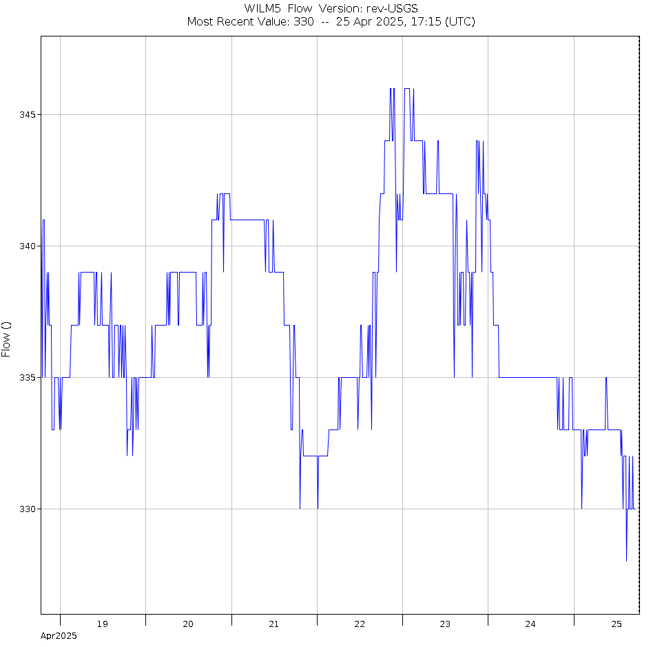
| Mississippi River near Willow Beach, MN | 20 Jul 2026, 05:15 | 1275.17 | 454 |
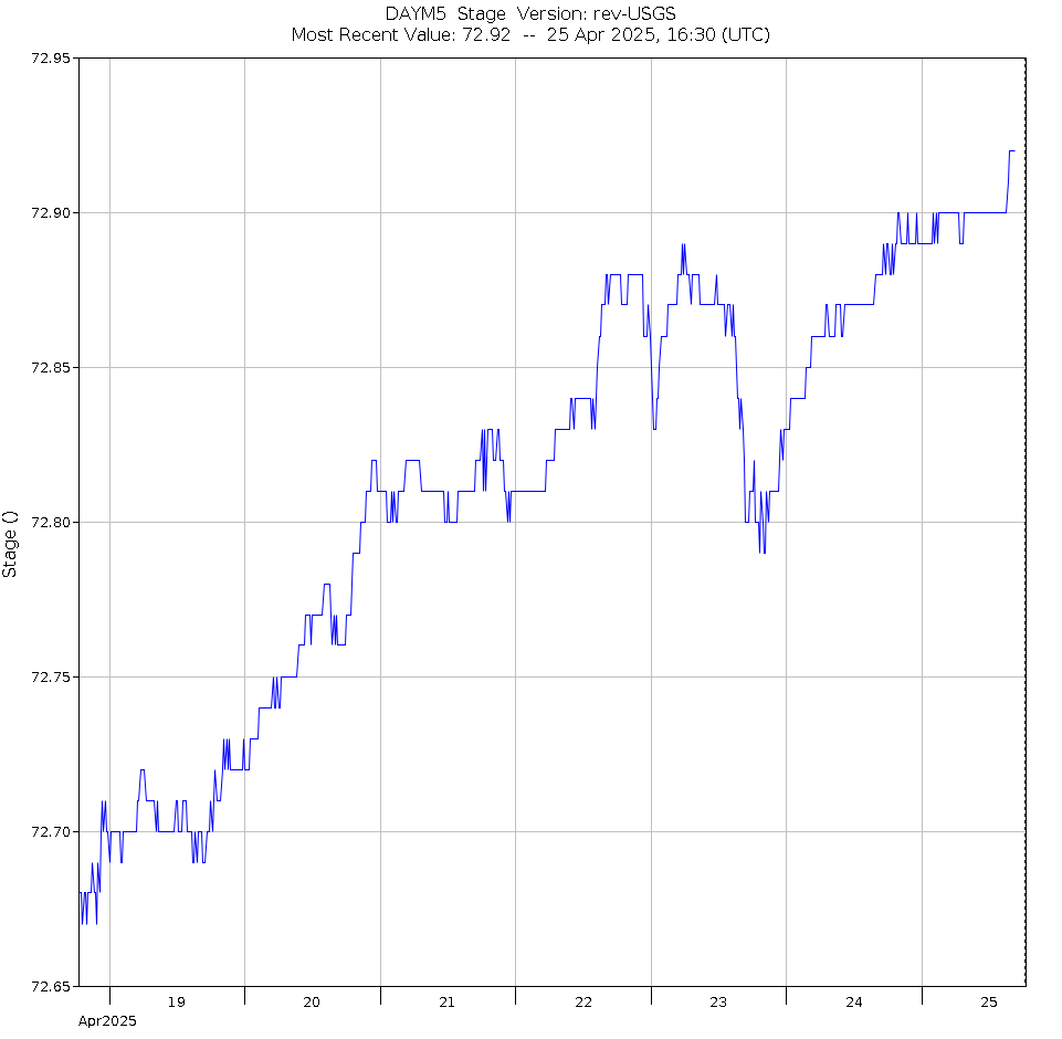
| Mississippi River at Days Highlanding, MN | 20 Jul 2026, 04:30 | 73.54 | --- |
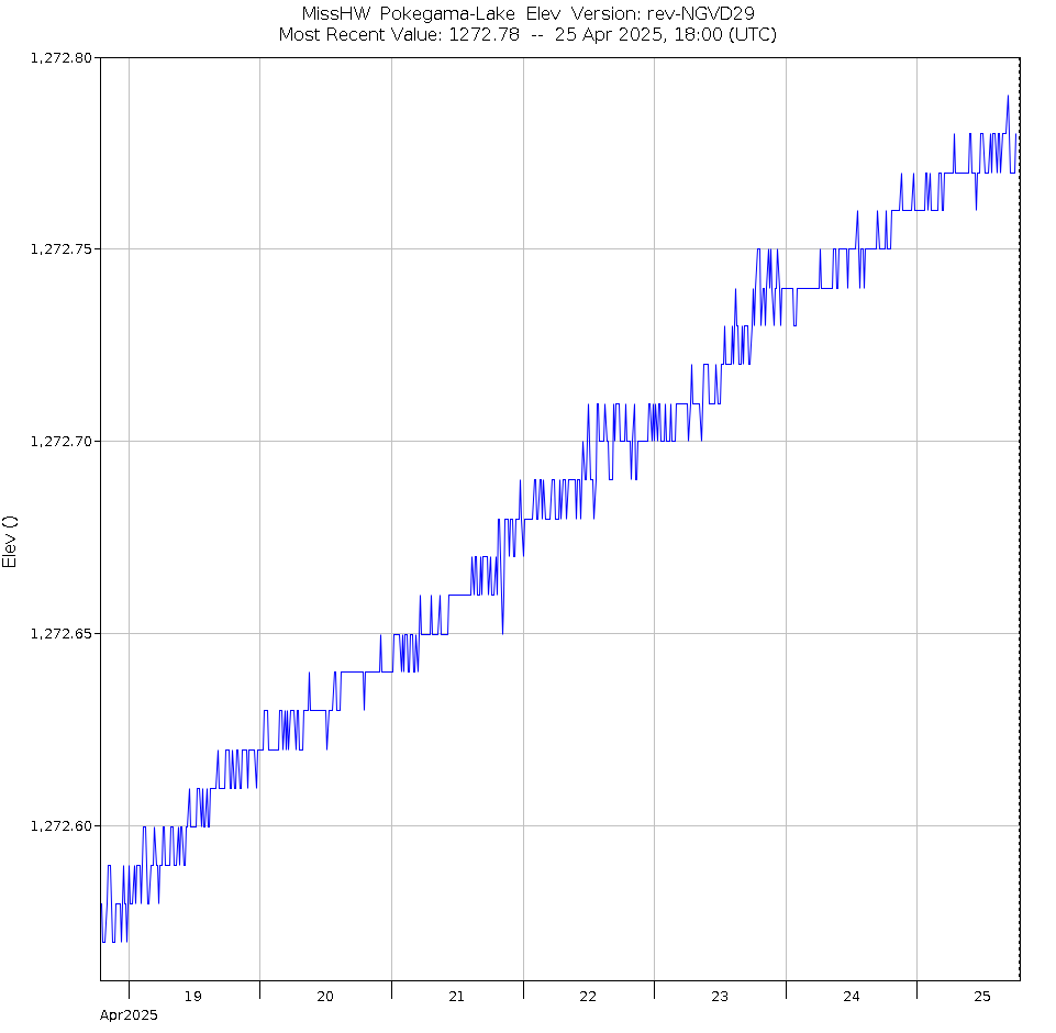
| Pokegama Lake at Grand Rapids, MN | 20 Jul 2026, 05:00 | 1273.47 | --- |
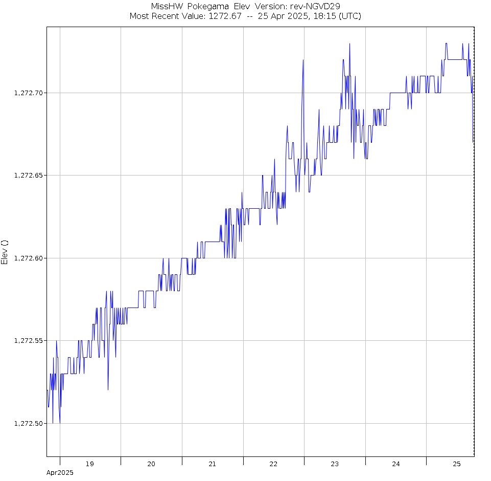
| Pokegama Dam at Grand Rapids, MN | 20 Jul 2026, 05:15 | 1273.34 Tail: 1268.16 | 262 |
| Big Sandy Lake near McGregor, MN | 20 Jul 2026, 05:15 | 1216.33 Tail: 1206.90 | 20 |
| Mississippi River near Aitkin, MN | 20 Jul 2026, 04:30 | 2.60 | 830 |
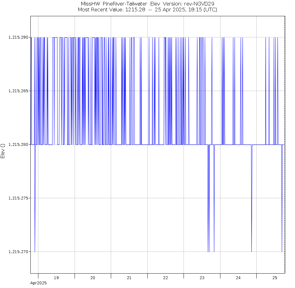
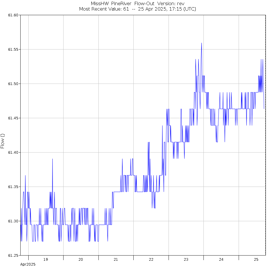
| Pine River Dam at Crosslake, MN | 20 Jul 2026, 05:15 | 1229.38 Tail: 1215.16 | 35 |
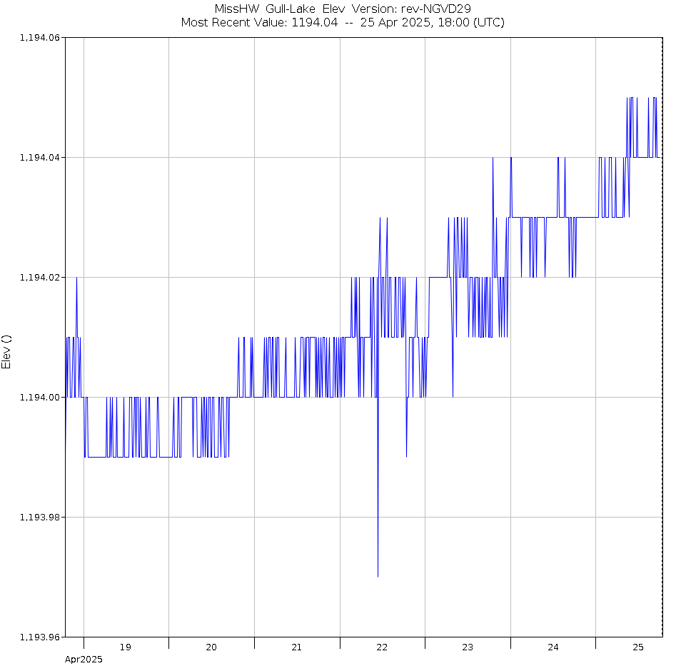
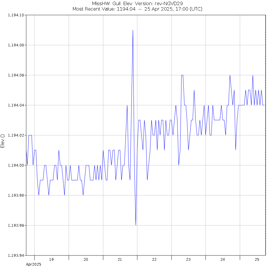
| Gull Lake near Brainerd, MN | 20 Jul 2026, 05:00 | 1193.93 | --- |
| Gull Lake Dam near Brainerd, MN | 20 Jul 2026, 05:00 | 1193.91 Tail: 1189.22 | 20 |
| Mississippi River near Fort Ripley, MN | 20 Jul 2026, 04:30 | 4.50 | --- |